
Take a Photo, Contribute to Science: Visit Montana’s New Chronolog Stations
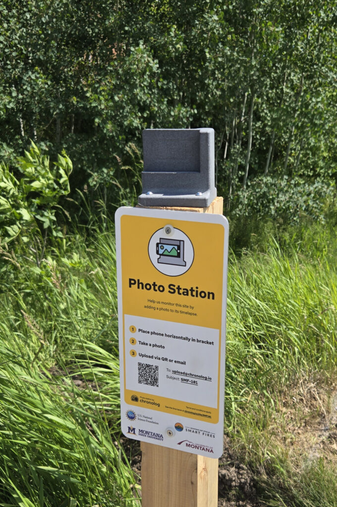
Chronolog is a citizen science program that uses fixed photo stations to document environmental change over time. Visitors place their phone in a designated mount and take a picture from the same location as previous participants. When combined, these repeat photographs create time-lapse records that help scientists, land managers, educators, and communities observe changes in vegetation, water levels, snow cover, air quality, restoration treatments, and other environmental conditions. Every photo adds a new data point—and a new perspective—to the story of a place.
We recently installed two new Chronolog stations in Montana, each highlighting a different aspect of environmental change. Whether you’re interested in stream ecology or forest restoration, these sites offer an opportunity to contribute to science while exploring the outdoors.
Mandeville Creek @ MSU station
Located on the Montana State University campus in Bozeman, the Mandeville Creek Chronolog station overlooks a dynamic creek corridor where water, vegetation, and weather interact throughout the year. From spring snowmelt and leaf-out to autumn color changes and winter ice, the landscape provides a vivid record of seasonal change.
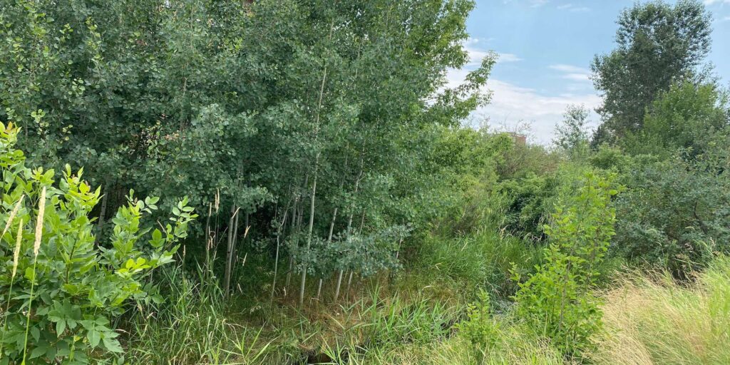
Photos collected at this station help document fluctuations in stream conditions, plant growth, snow cover, and other environmental patterns. Together, these images create a long-term visual record that can help researchers and community members better understand how local ecosystems respond to weather and climate.
Whether you’re walking to class, exploring campus, or visiting the area, you can contribute to this ongoing citizen science effort by taking a photo and adding it to the growing timeline.
Location: Bridge over Mandeville Creek, northwest of the Animal Biosciences Building, Montana State University
Coordinates: 45.669445, -111.053806
To reach the station, travel south on South 13th Avenue and turn east onto Deer Street between Bobcat Lot 5 and the North Hedges Parking Lot. Continue east along the sidewalk to the creek bridge.
Google Maps:
https://www.google.com/maps/search/?api=1&query=45.669445,-111.053806
Rodney Ridge station
In Helena’s South Hills, Rodney Ridge is a collaborative landscape where U.S. Forest Service lands meet City of Helena open space, Prickly Pear Land Trust properties, and private landholdings. Because of its proximity to both natural resources and nearby communities, the area has been a priority for forest restoration and wildfire risk reduction.
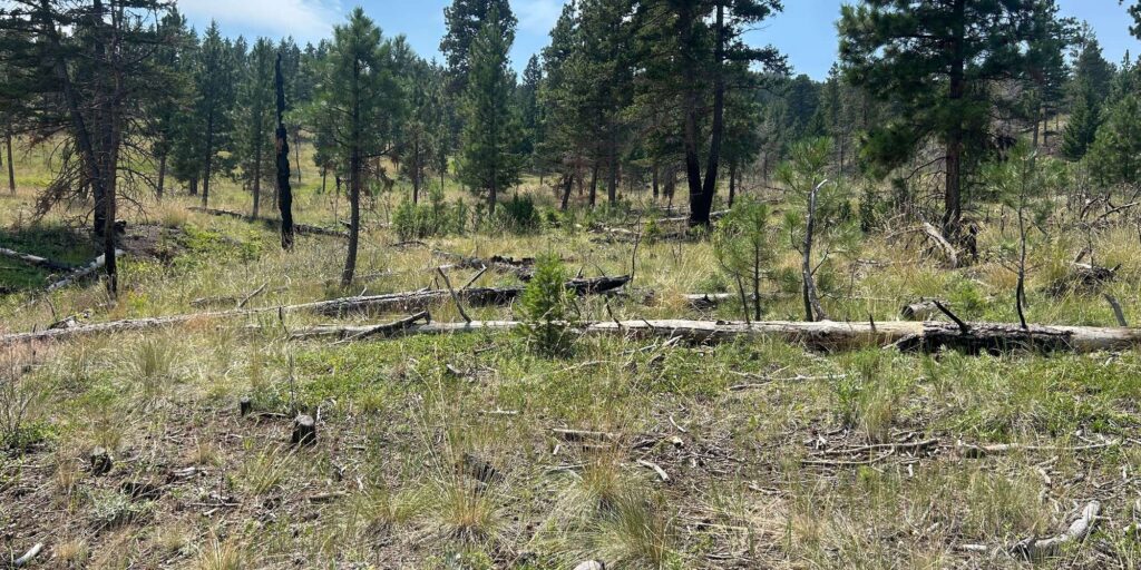
Over the past several years, land managers have implemented a series of treatments to improve forest health and reduce hazardous fuels, including thinning smaller trees, piling and burning woody debris, and conducting prescribed understory burns. These treatments were designed to prepare the site for the reintroduction of low-intensity fire while protecting mature trees and restoring more resilient forest conditions.
Additional prescribed burning is planned in the coming years to further reduce fuel loads, manage dense regeneration, and help return the landscape to a more natural fire regime. The Rodney Ridge Chronolog station allows visitors to document these changes as they unfold, creating a visual record of how restoration treatments shape the forest over time.
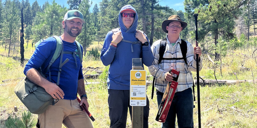
By taking a photo during each visit, community members can help track the long-term effects of forest management and contribute to a better understanding of wildfire resilience and ecosystem recovery.
Location: South side of T.R. Trail #391, Helena South Hills
Coordinates: 46.563543, -112.052426
T.R. Trail is a year-round multi-use trail with parking available at the Old Shooting Range Parking Lot off Davis Gulch Road.
Google Maps:
https://www.google.com/maps/search/?api=1&query=46.563543,-112.052426